// ISRO IN YOUR LIFE

SPACE
APPLICATIONS

Every weather forecast. Every crop insurance claim. Every fishing boat that came home safe. ISRO made it possible — you just never knew.

Scroll
0
Million+ farmers covered by ISRO crop data
0
Thousand+ fishermen use ISRO ocean advisories
0
Districts mapped for disaster response
0
Billion people under ISRO weather coverage
// APPLICATION 01
AGRICULTURE
RESOURCESAT-2A · CARTOSAT-3 · EOS-04
CROP MAPPING
Fasal Bima Yojana · Krishi Decision Support

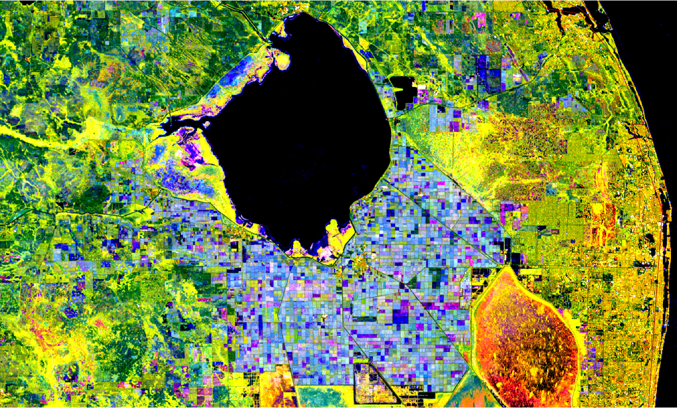
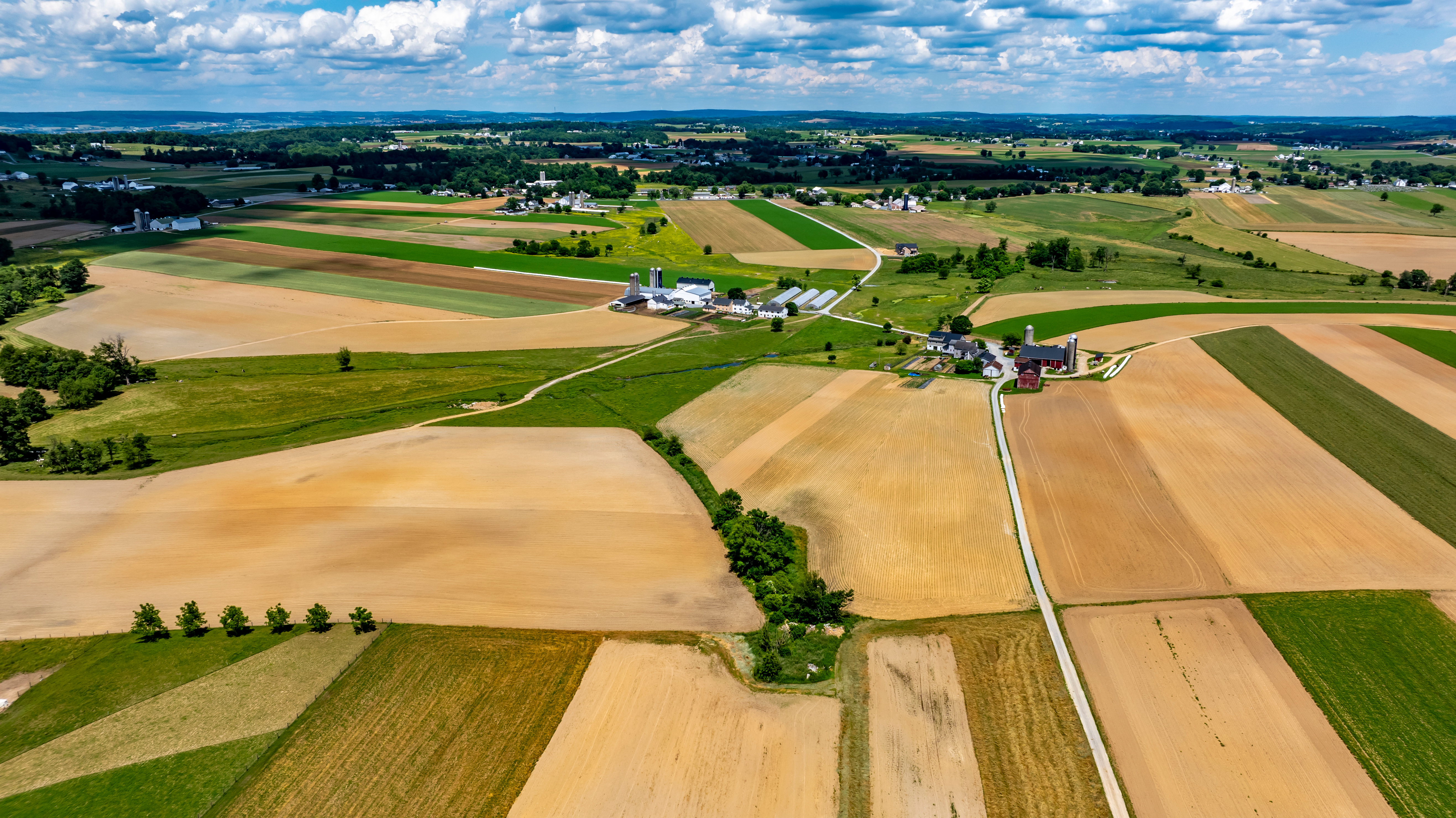
ISRO's RESOURCESAT satellites photograph every district in India every 24 days. The images are classified into crop types — wheat, rice, cotton, sugarcane — across the entire subcontinent. This isn't just data. This is the backbone of India's ₹30,000 crore Pradhan Mantri Fasal Bima Yojana crop insurance scheme.

100M+ farmers have claims settled using satellite-verified crop loss data
LISS-IV camera at 5.8m resolution can distinguish a healthy paddy field from a stressed one
Bhuvan Krishi portal delivers field-level advisories to farmers via SMS and app
Drought mapping — EOS-04 SAR sees through monsoon clouds to confirm crop failure
RESOURCESAT-2A · CARTOSAT-3 · RISAT-2BR1
WATER RESOURCES
Reservoir Monitoring · Groundwater Mapping

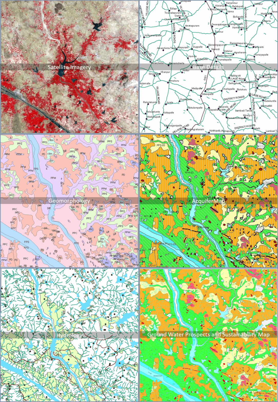
India has 5,000+ reservoirs. ISRO monitors water levels across all of them through the National Wetland Inventory and Assessment — a program with no ground-based equivalent at this scale. Groundwater depletion maps from GRACE satellite data help states prioritise irrigation policy before wells run dry.

Flood inundation maps generated within hours of a flood event, used by NDRF for rescue prioritisation
Snow melt estimation from Himalayas for river flow forecasting — critical for Ganga basin states
RISAT-2BR1 SAR maps soil moisture — detecting drought-prone areas before crops fail
// APPLICATION 02
WEATHER & DISASTER
INSAT-3D · INSAT-3DR · INSAT-3DS
CYCLONE WARNING
India Meteorological Department · IMD Cyclone Alerts

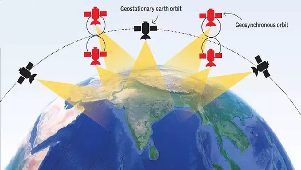
India went from losing 10,000+ lives per major cyclone in the 1970s to fewer than 100 today. The change: INSAT geostationary satellites giving IMD 15-minute imagery updates of cyclone tracks. When Cyclone Fani approached Odisha in 2019, ISRO data enabled the evacuation of 1.2 million people in 48 hours. Zero deaths from storm surge.

6-day cyclone track forecasts with 80%+ accuracy — from INSAT-3D atmospheric sounding data
Every weather broadcast in India uses INSAT cloud imagery — DD Weather, IMD, private channels
Search & Rescue transponder on INSAT-3DR detects distress beacons from ships and aircraft
RESOURCESAT · CARTOSAT · RISAT-2BR1
DISASTER RESPONSE
NDMA Support · Emergency Mapping · NRSC Rapid Response

When Uttarakhand floods, when Odisha is hit by a cyclone, when an earthquake strikes Nepal — ISRO's National Remote Sensing Centre activates emergency mapping within 12 hours. Pre- and post-disaster satellite images are distributed to NDMA, state governments, and the Indian Army for rescue coordination. No other country does this at this speed for this cost.

Kedarnath 2013: ISRO flood maps guided helicopter rescue routes when roads were impassable
500+ districts mapped for disaster risk — landslide zones, flood plains, earthquake faults
Forest fire alerts from MODIS data processed by NRSC — active fire locations updated daily
// APPLICATION 03
FISHERIES & OCEAN
OCEANSAT-3 · INSAT-3DR
FISHING ZONE ADVISORY
Potential Fishing Zone · 400,000 Fishermen

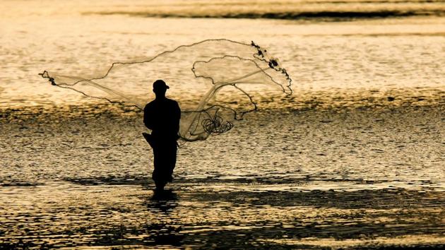
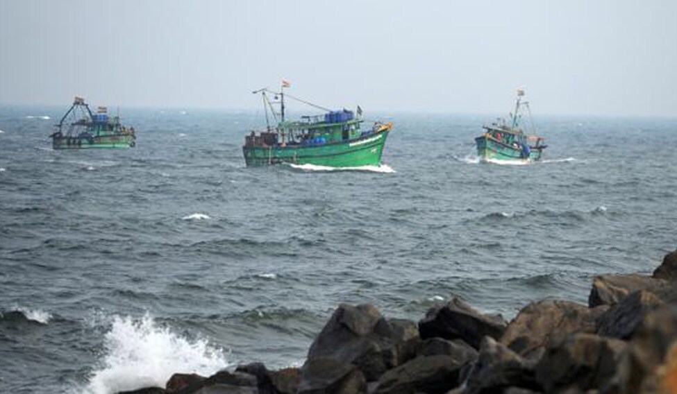
OCEANSAT-3 measures ocean chlorophyll concentration and sea surface temperature from space. Where chlorophyll blooms, phytoplankton thrive. Where phytoplankton thrive, fish follow. ISRO converts this data into weekly Potential Fishing Zone (PFZ) advisories — precise coordinates of where fish are likely to be. Fishermen receive this on their phones via SMS in Tamil, Telugu, Kannada, Malayalam, and Odia.

400,000+ fishermen across 9 coastal states use PFZ advisories weekly
Fuel savings of 30–50% reported by boats using PFZ advisories — less time searching
Safety at sea: rough sea forecasts from INSAT data distributed with PFZ to prevent disasters
Oil spill detection — RISAT SAR imagery identifies pollution in Indian Ocean shipping lanes
// APPLICATION 05
URBAN & INFRASTRUCTURE
CARTOSAT-3 · RESOURCESAT-2A
CITY PLANNING
Urban Mapping · Infrastructure Monitoring · Smart Cities

Cartosat-3 images at 0.25 metre resolution — sharp enough to see individual vehicles on roads. Every major infrastructure project in India — highways, railways, urban expansion, coastal erosion — is monitored by ISRO satellites. The Survey of India's national mapping programme runs on Cartosat data. So do India's Smart Cities, forest cover reports, and coastal regulation zone assessments.

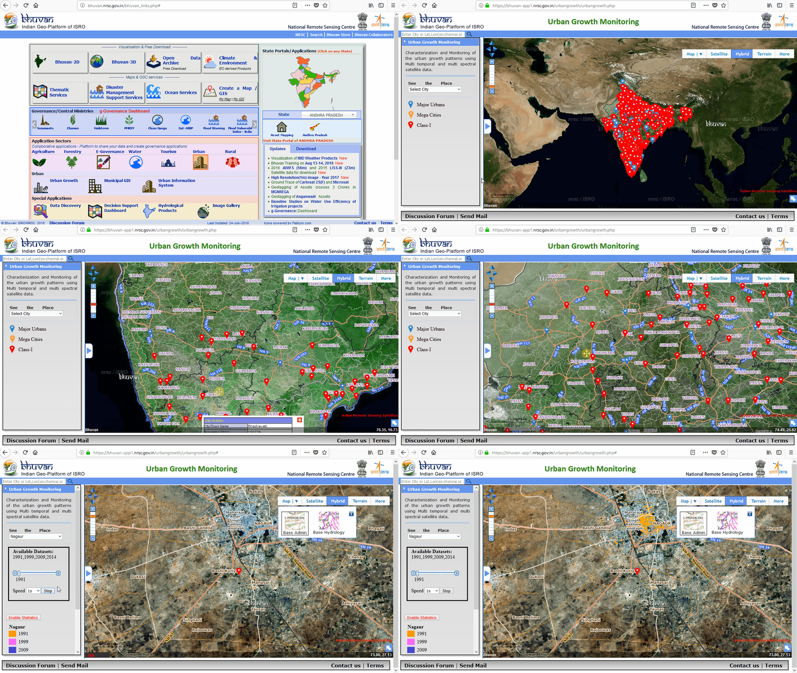
Bhuvan platform — ISRO's Google Maps equivalent, with India-specific layers unavailable elsewhere
Forest cover India report: published biennially using RESOURCESAT data, mandated by Parliament
Encroachment detection: Cartosat imagery used by courts and state governments for land disputes
Glacier retreat monitoring: Himalayan glacier areas tracked annually — water security data for 700M people
// The invisible infrastructure
Before ISRO, India was dependent on foreign satellite imagery, foreign weather data, foreign navigation. Today, India owns the infrastructure that keeps 1.4 billion people fed, warned, guided, and connected. The satellites are up there right now, working. The price of building them was a fraction of what importing the services would have cost.
// ISRO PLATFORMS
GROUND SERVICES
BHUVAN
ISRO's Geoportal
India's national geospatial platform. Satellite imagery, thematic maps, disaster layers, crop health, air quality — all from ISRO satellites. The Indian alternative to Google Earth, with layers no foreign platform carries.
MOSDAC
Meteorological & Oceanographic Satellite Data Archival Centre
Real-time meteorological and ocean data from INSAT and OCEANSAT satellites. Used by IMD, fisheries departments, port authorities, offshore oil operators, and researchers worldwide.
VEDAS
Visualisation of Earth observation Data & Archival System
ISRO's Earth observation data archive — decades of satellite imagery accessible to researchers, state governments, and developers. Over 4 million scenes archived and growing.
SAMUDRA
Ocean State Forecast · INCOIS
ISRO's ocean state forecast service — providing daily predictions of wave height, sea surface temperature, ocean currents, and potential fishing zones. Data from OCEANSAT-3 feeds INCOIS (Indian National Centre for Ocean Information Services), reaching 400,000+ fishermen and offshore operations across 9 coastal states.
GSAT SERVICES
Communication Satellites
ISRO's GSAT communication satellites provide DTH television, VSAT internet, and telemedicine services across India — including to areas where no fibre reaches. Enabled India's digital inclusion mission.
EDUSAT
Educational Satellite
Dedicated to distance education. Live interactive classes broadcast to 50,000+ classrooms in rural India — teachers in cities, students in villages, one satellite bridging both. Still operational.
TELEMEDICINE
ISRO Telemedicine Network
ISRO's satellite network connects 300+ remote hospitals and health centres to specialist doctors in cities. A patient in a Himalayan village can get a cardiologist consultation via ISRO's link. Running since 2001.
BHOONIDHI
National Remote Sensing Data Policy · NRSC
ISRO's National Remote Sensing Centre data portal — India's centralised repository of satellite-derived earth observation data. Serves government departments, researchers, and private sector with high-resolution imagery, GIS layers, and thematic products from CARTOSAT, RESOURCESAT, and EOS series satellites.